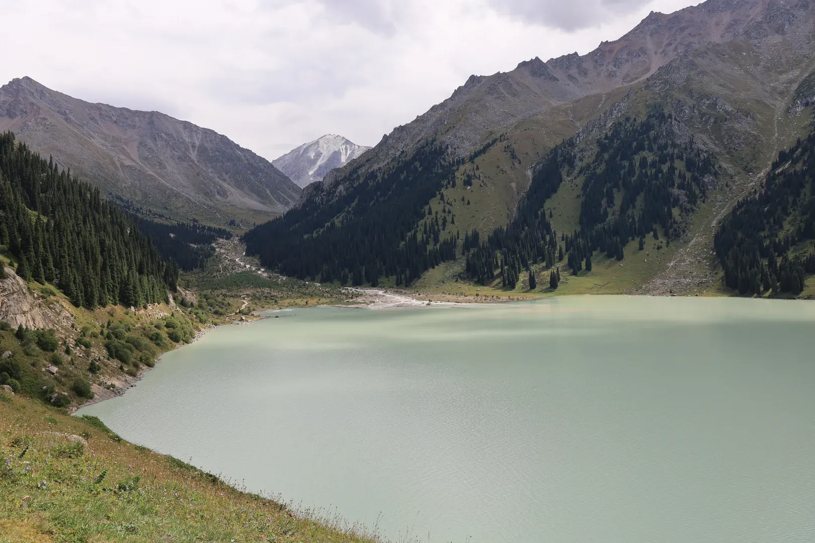
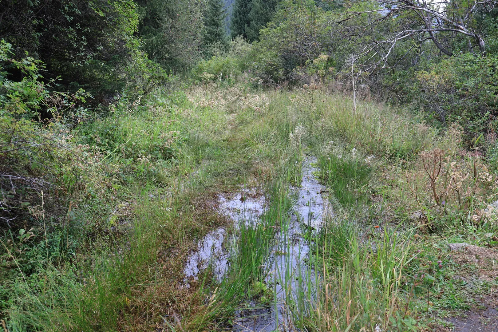
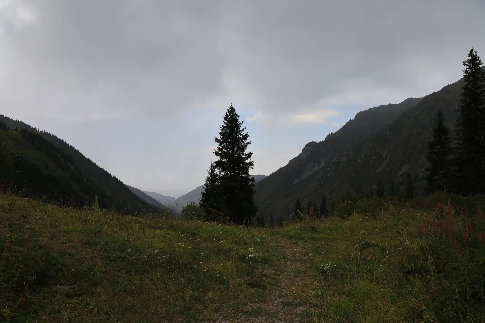
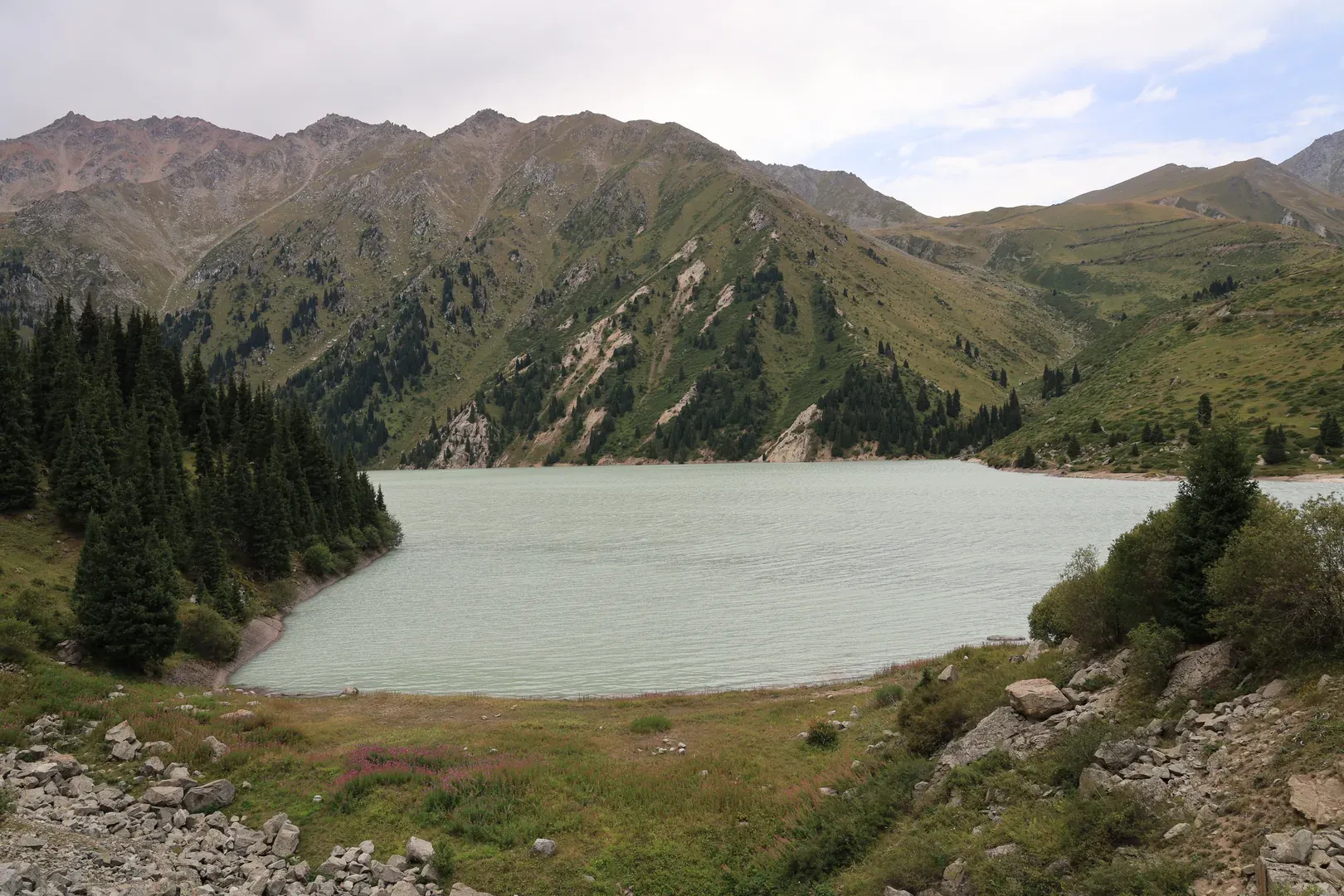
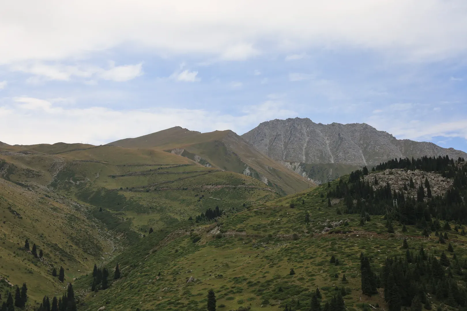
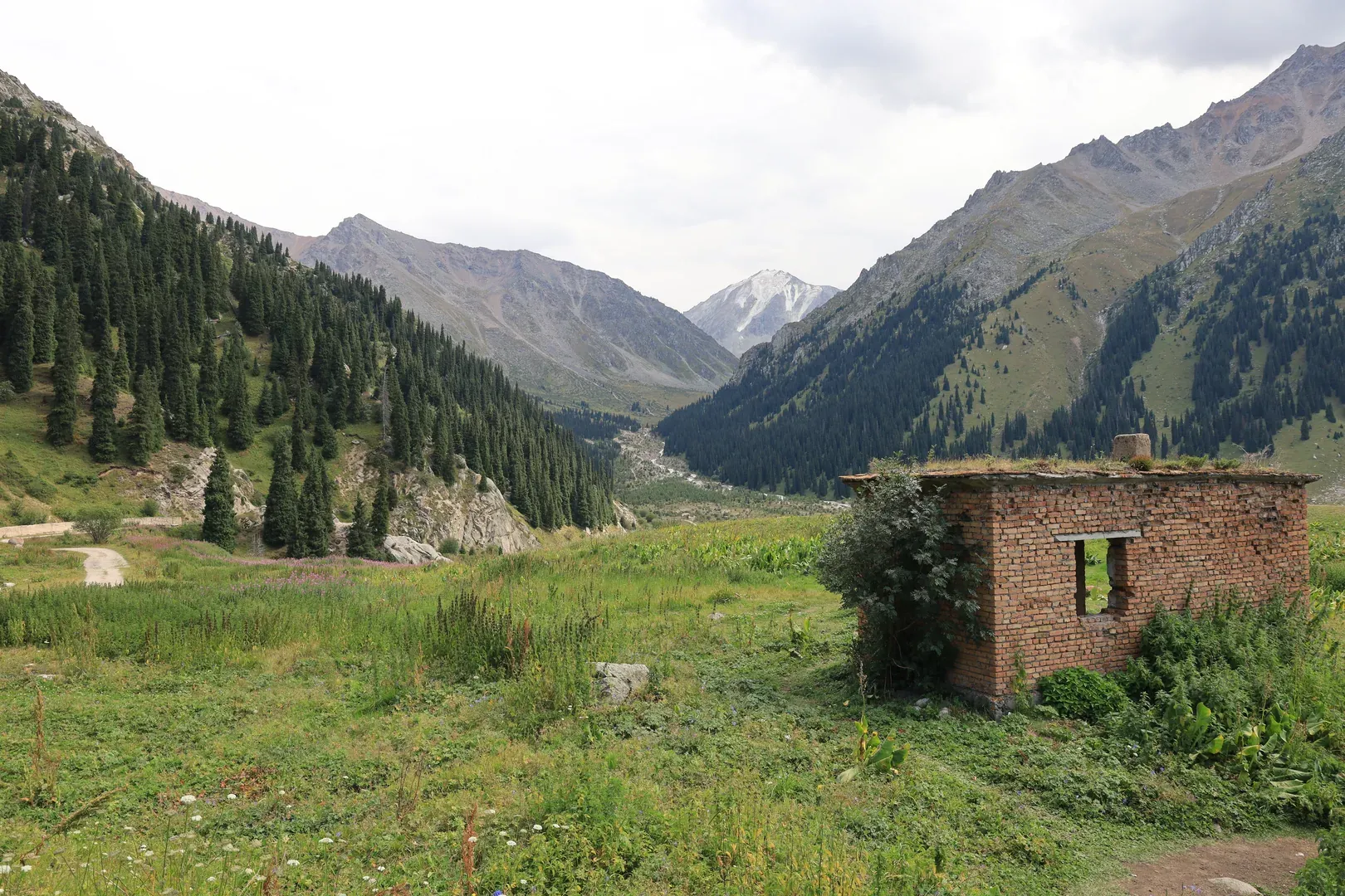
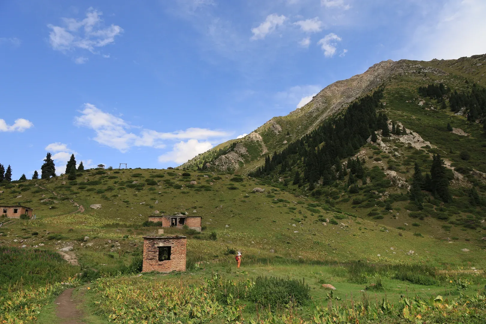
A view of Big Almaty Lake from the eastern trail that continues onwards to other camping sites, as well as to other mountains near the Kyrgyzstan border. The famous Krugosvetka ("round-the-world") trail starts from the eastern gorge near Medeo and finishes here.
The Ascent
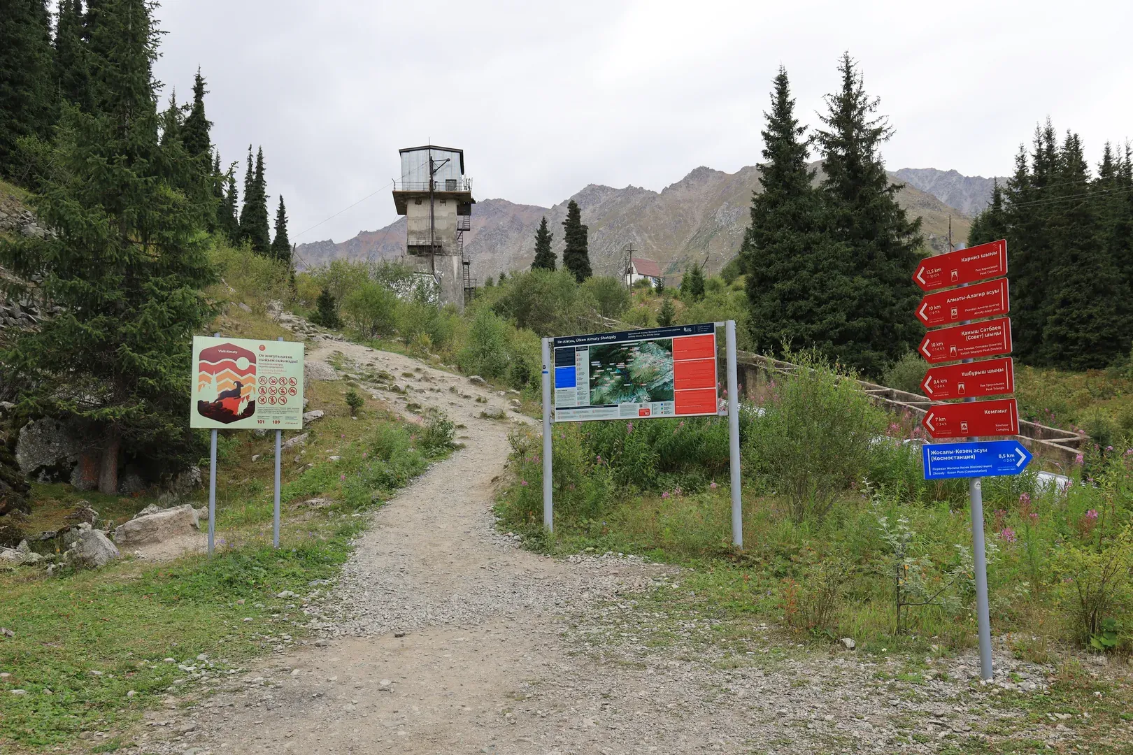
We got to the checkpoint by taxi, quickly dismissed the suggestion to pay for a ride to the top, and started our journey.
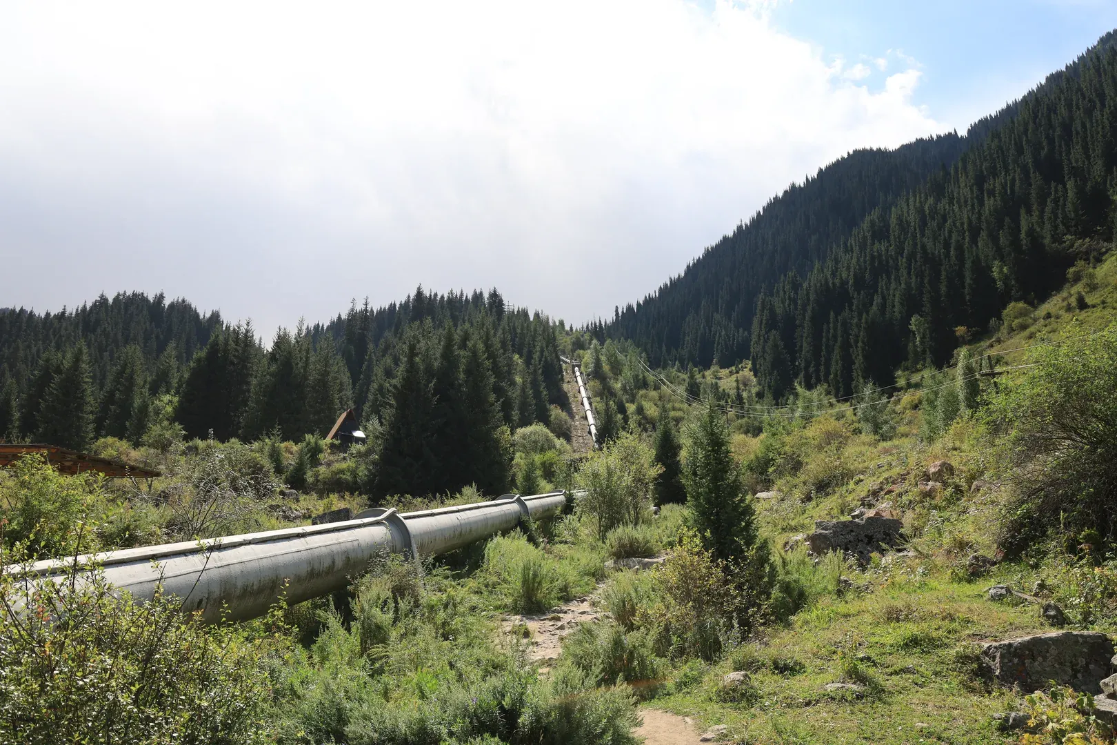
We first thought we would ascend all the way up using only the asphalt road, but on a whim we decided to try climbing near the water pipe (where most people ascend and descend the trail).
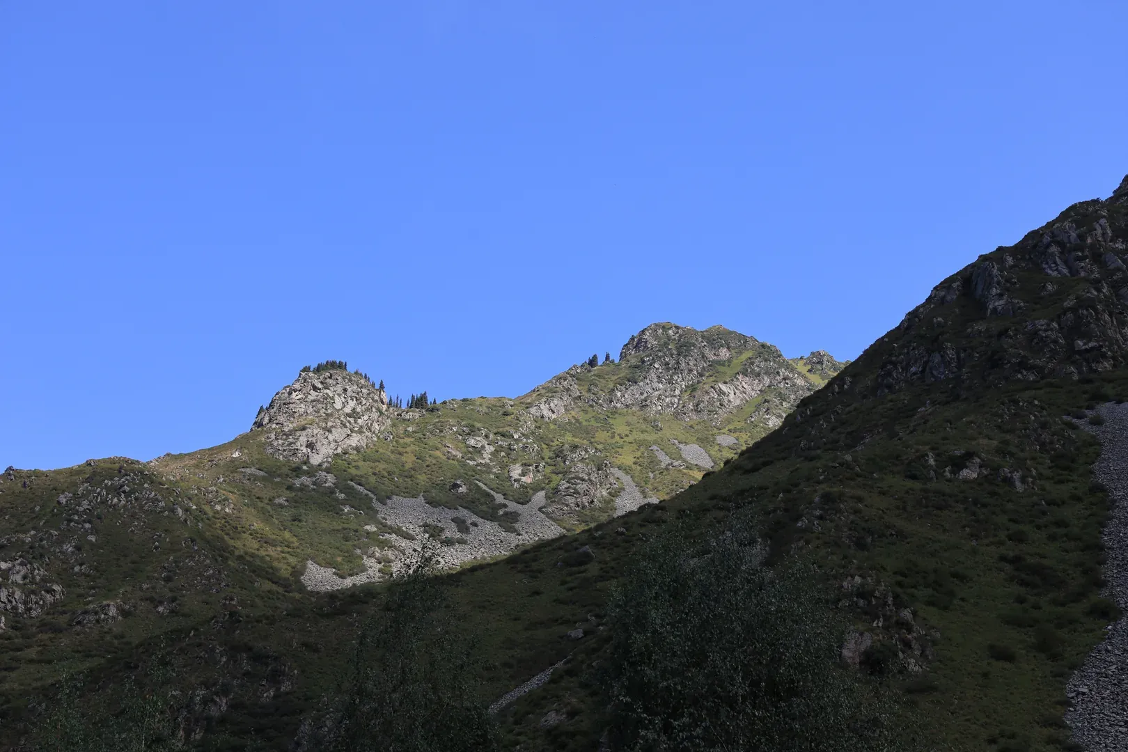
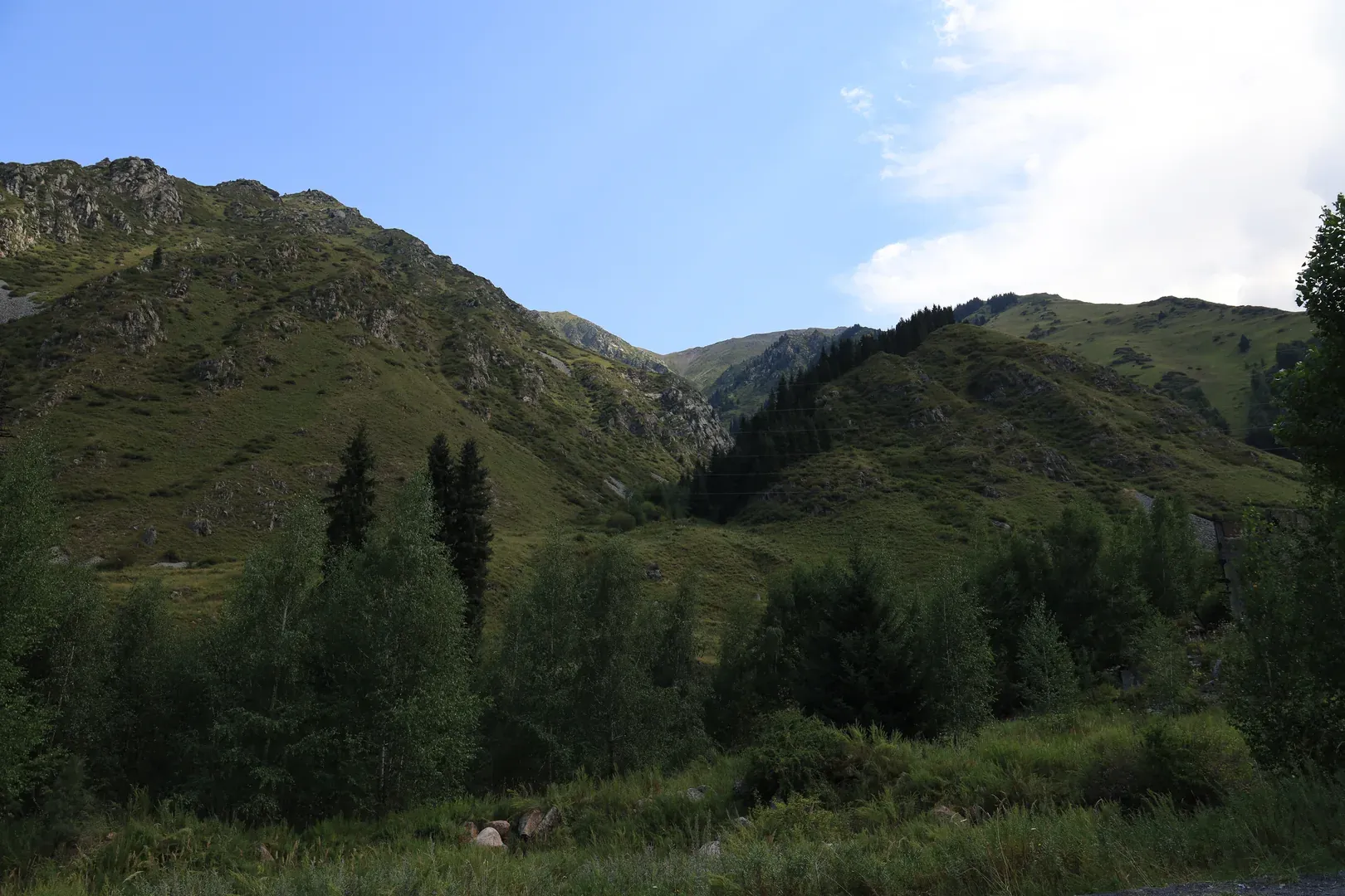
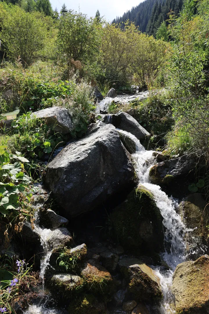
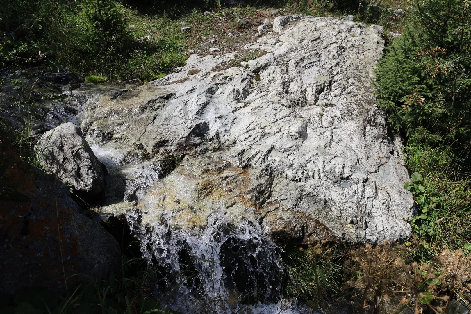
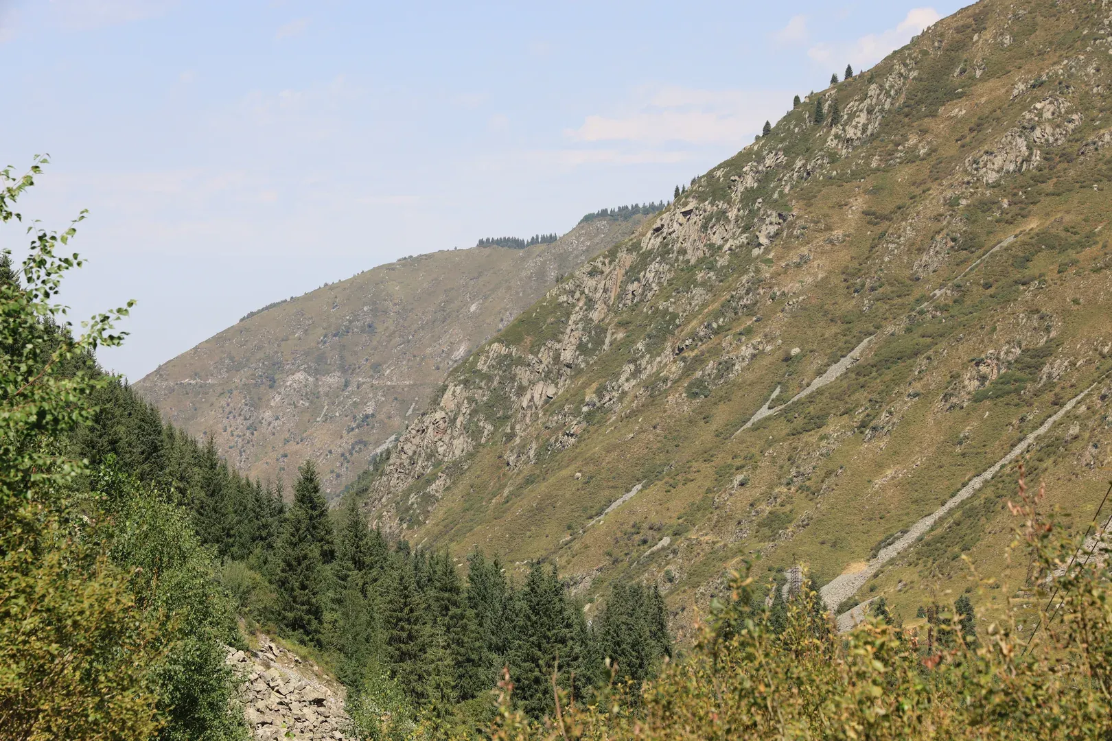
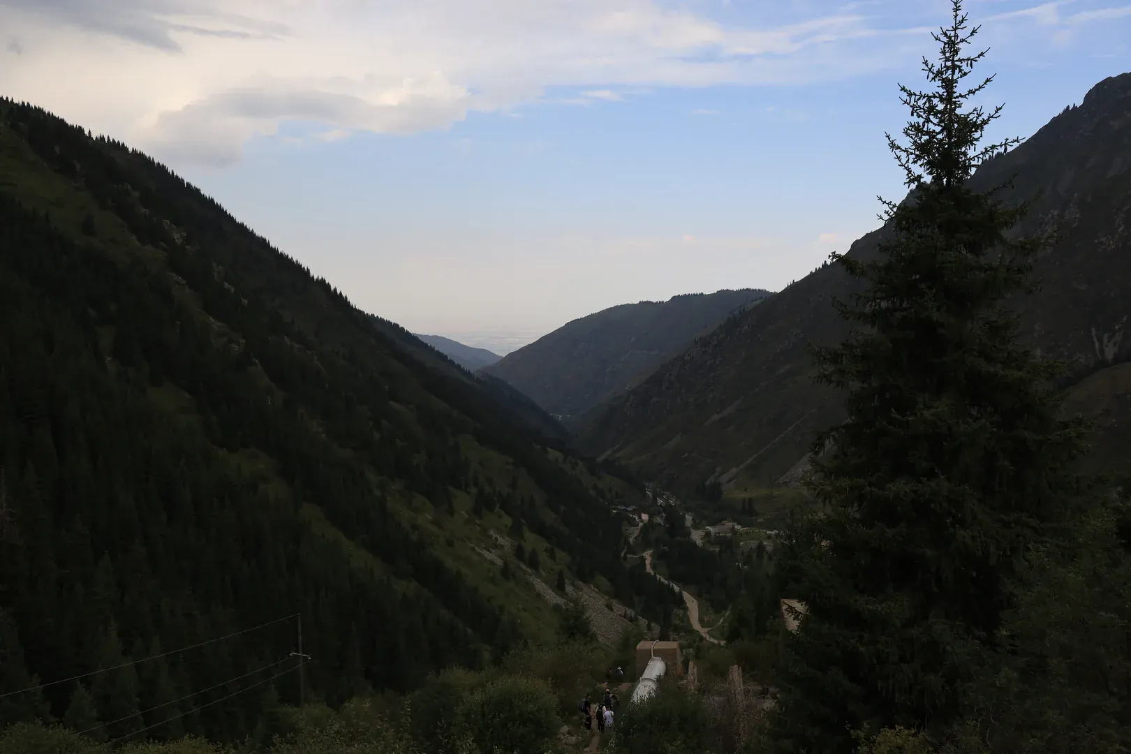
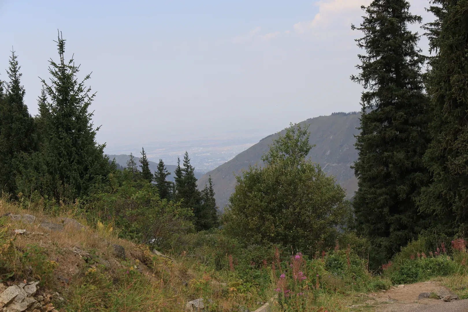
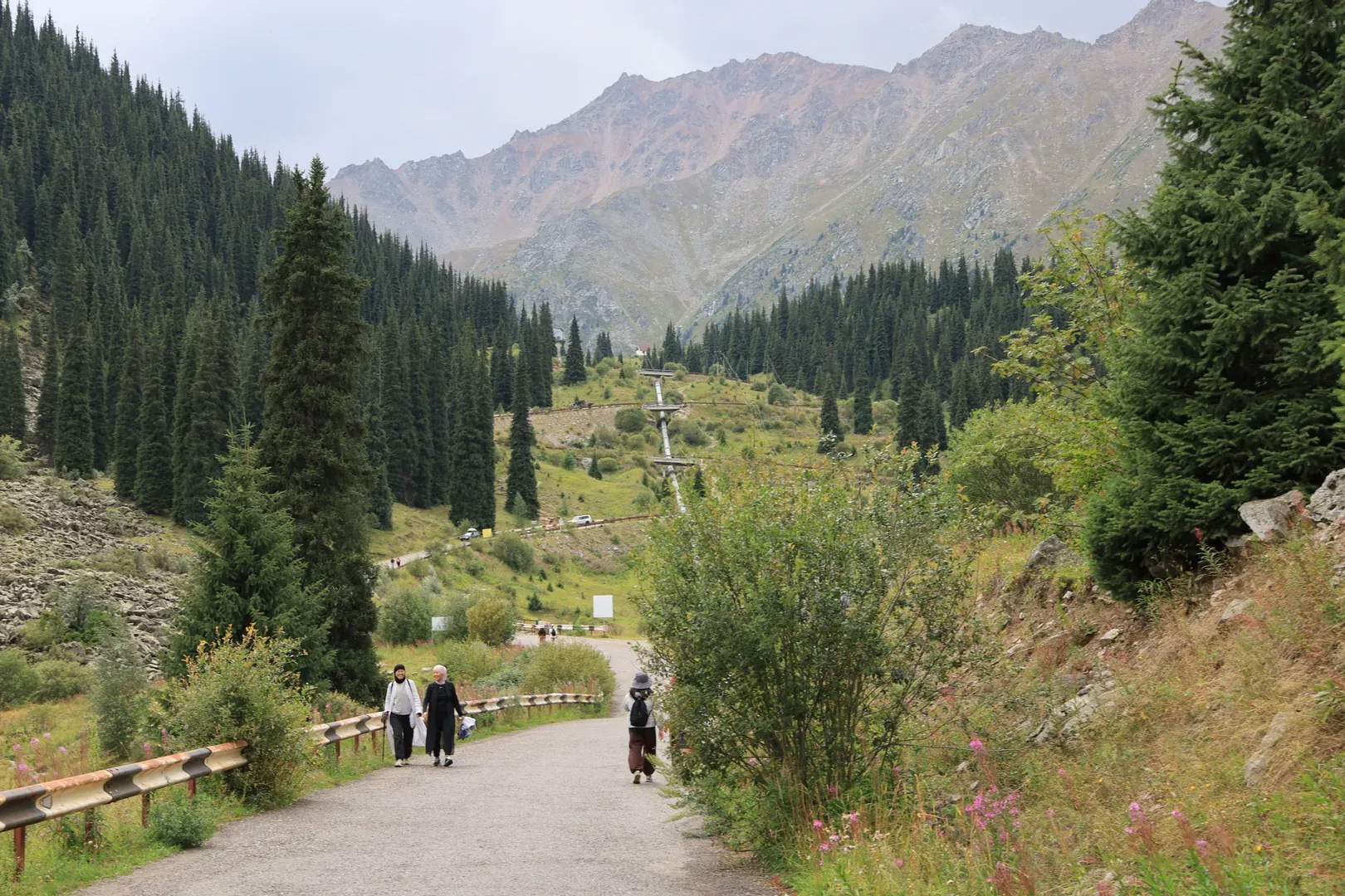
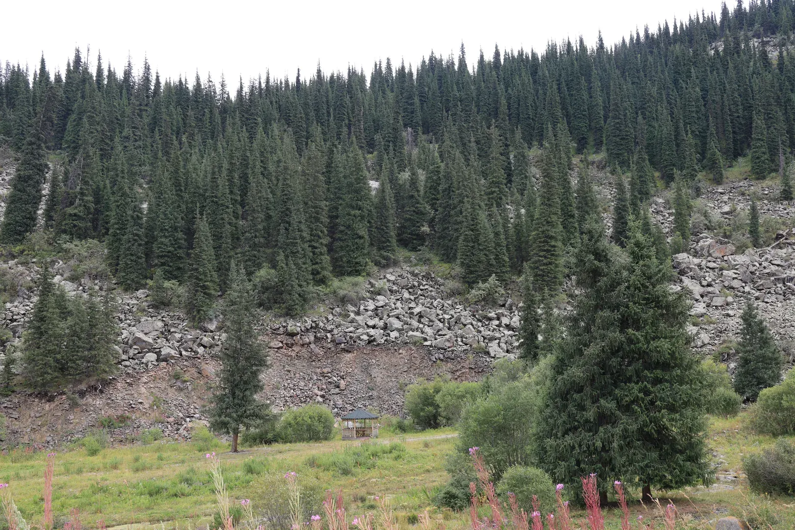
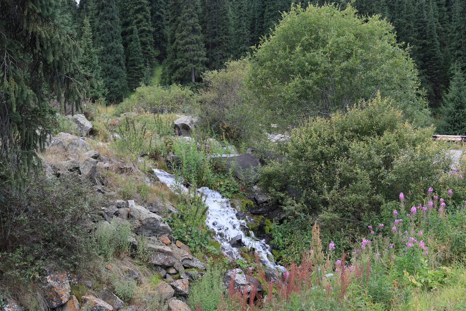
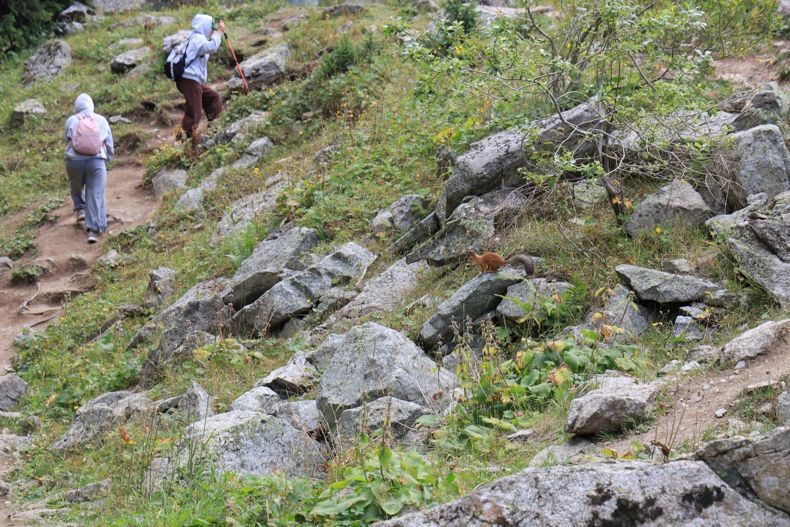
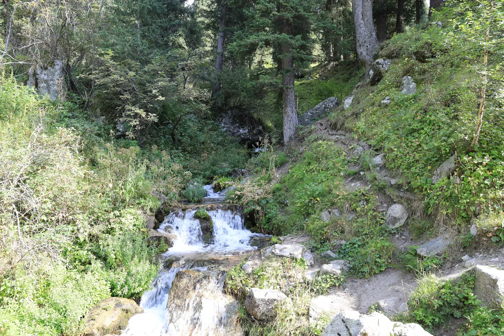
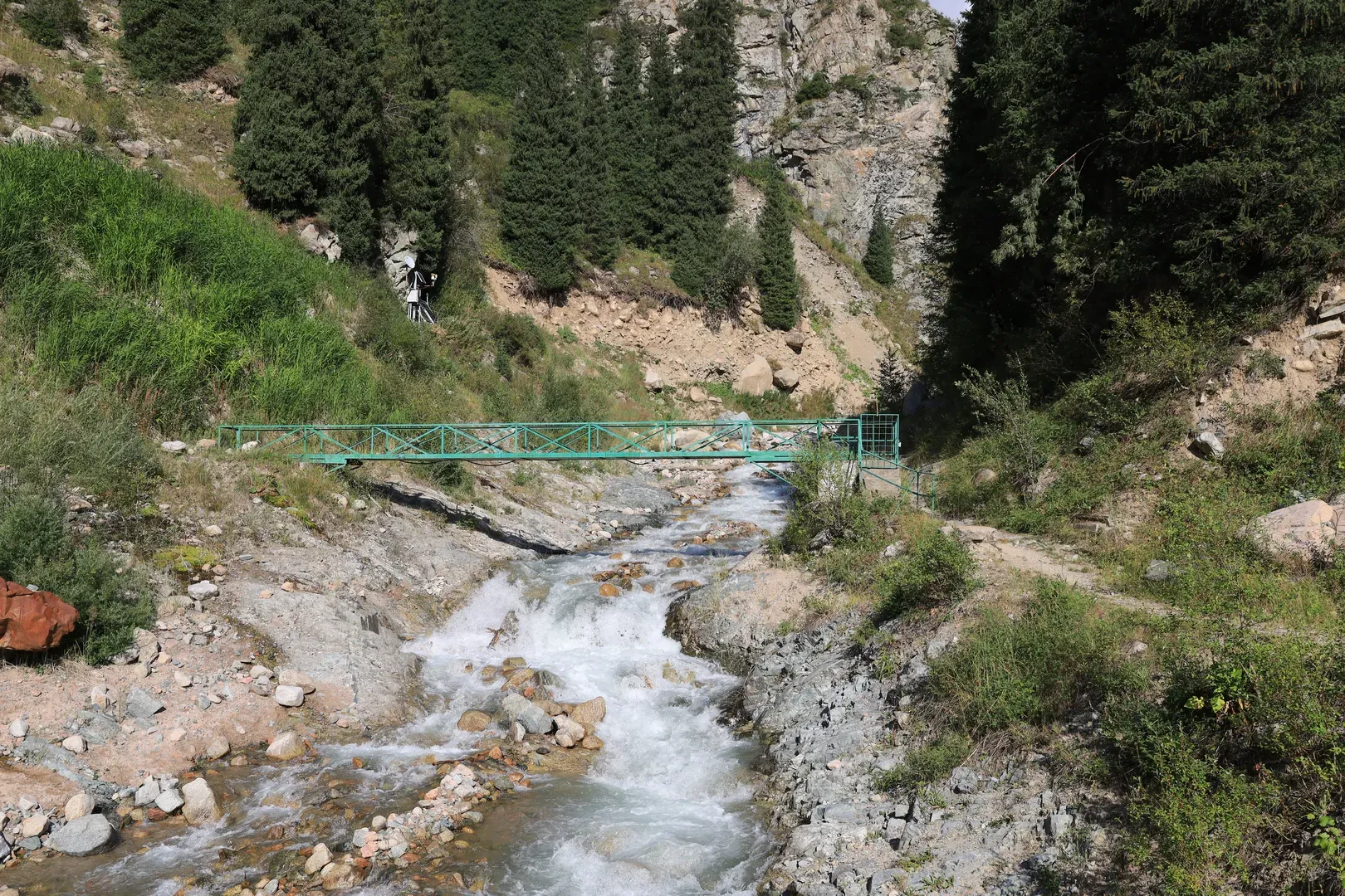
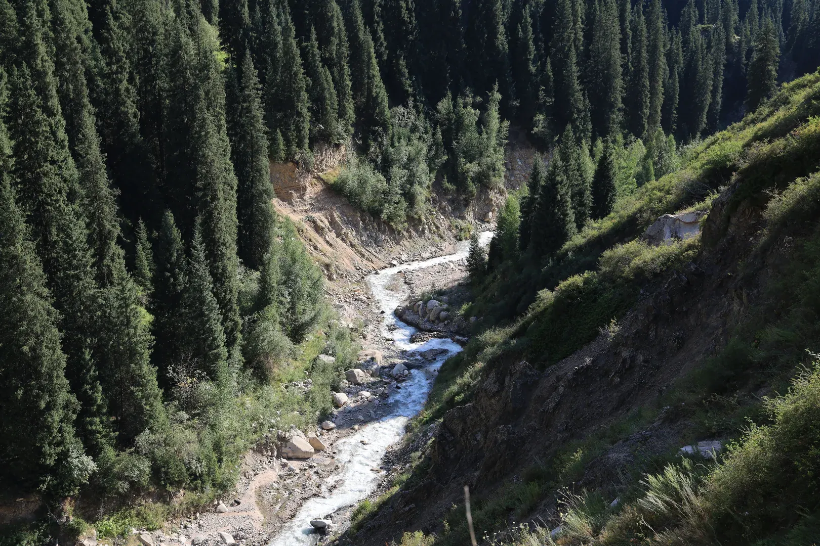
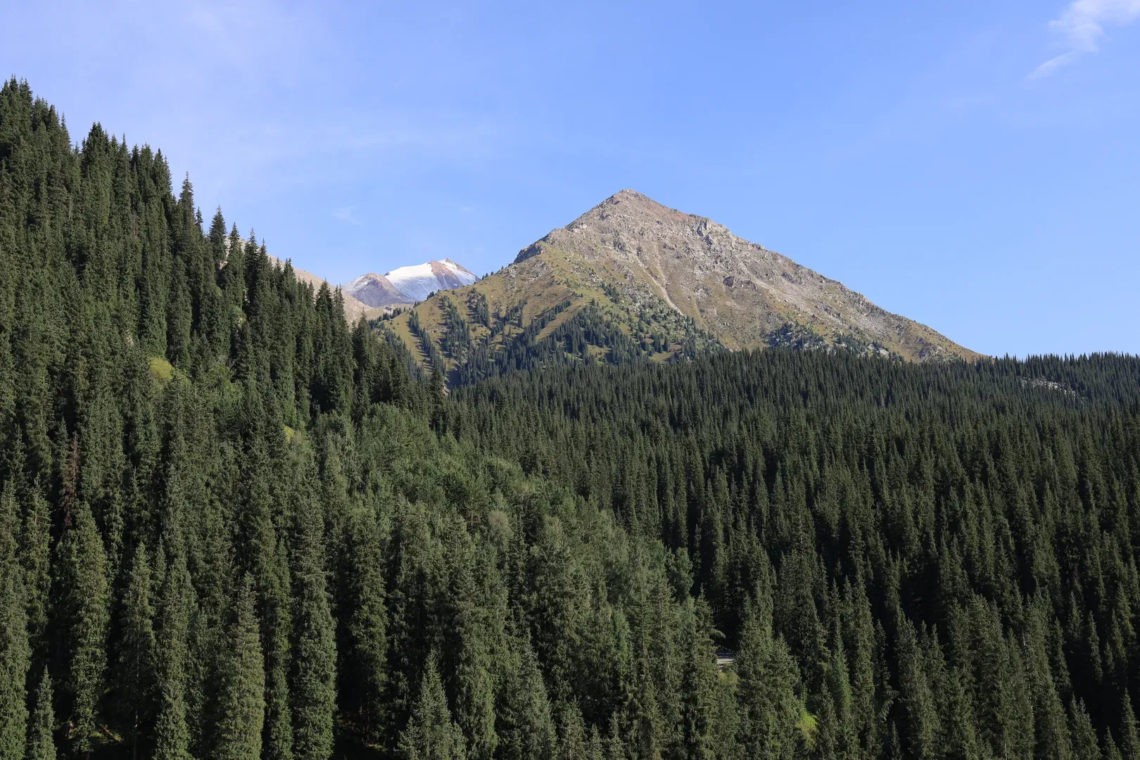
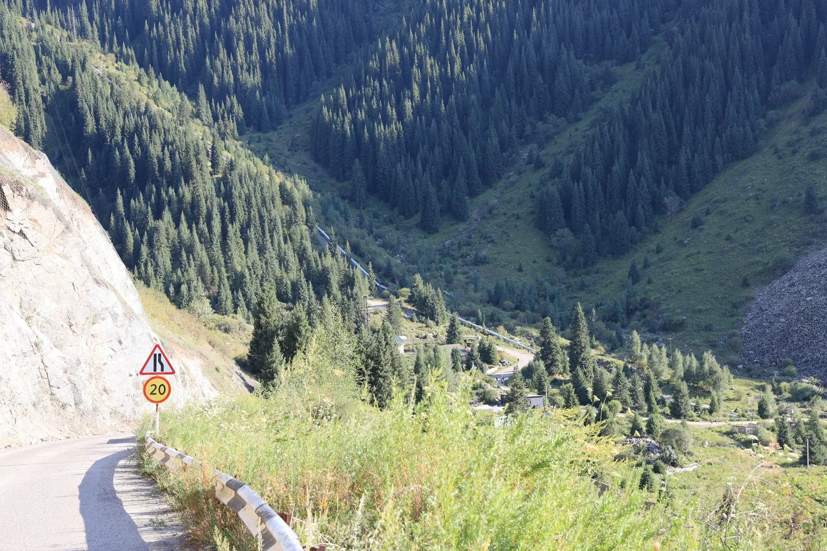
A view of Yuny Geolog peak, I believe.A view of the eastern mountains from the gorge.The water pipe, a landmark visible from far away, and the trail beside it.But first, a view of a small river with waterfalls near the trail.A view of both the stones and the river flowing down the mountain.Looking back during the ascent, you can see the Old Japanese Road marking an almost horizontal line in the middle of a mountain.Halfway up the climb near the water pipe there is an old supporting structure that can be climbed for this view of the gorge. Around this time the rain started to drizzle.From that structure we decided to take another path through the forest, where we found an old trail that is now part of a small riverbed. Near it there is a nice bench, where we rested while waiting out the light rain.A lonely spruce on the slope.A view of Almaty. From this trail the city almost never comes into view, and never from a good angle.Most of the remaining ascent is by road. And you can see the finishing line from here (a house near the lake).As you climb higher into the mountains, the forest mixes with rocky slopes, giving this amazing view of almost defiant trees living where the rocks could easily crush them.More small waterfalls. They sometimes give off the vibe of a small garden with artificial waterfalls.The finishing line. From here you can either climb the quicker way on the left, or the slower road to the right.We went to the left, and I caught a squirrel crossing the trail.And the prize for climbing all the way up here is this view of Big Almaty Lake.You can see the road to the observatory on the mountain to the west of the lake.A meadow where most travellers rest. It is unofficially called the viewpoint.A view from the viewpoint towards Skalisty peak.The view from the start of the post. You can see the river flowing down, and the trail continuing along it — but that was not our destination for the day.
The weather was perfect at the top.
We got some rain climbing up, but almost as soon as we saw the lake the clouds started to disappear, and we rested under the Sun with a great view of the water.
The Descent
After some time, we started the descent.
We decided we didn’t want to climb down the same way we came up, so we descended by road as much as possible.
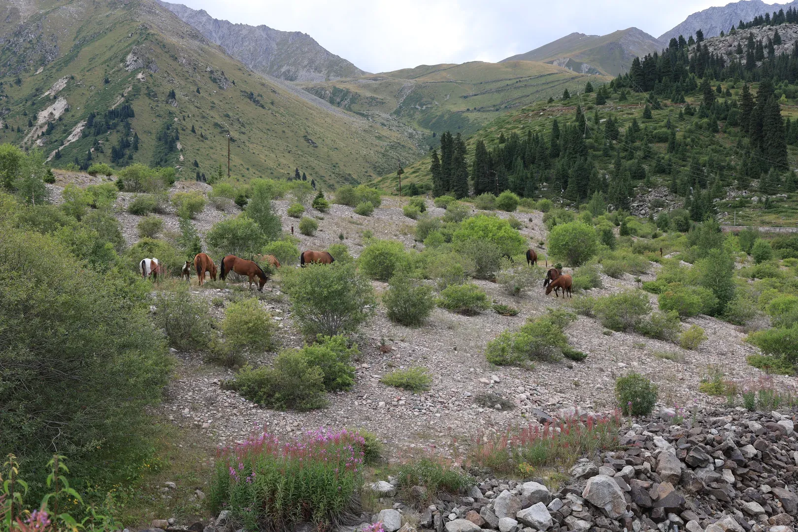
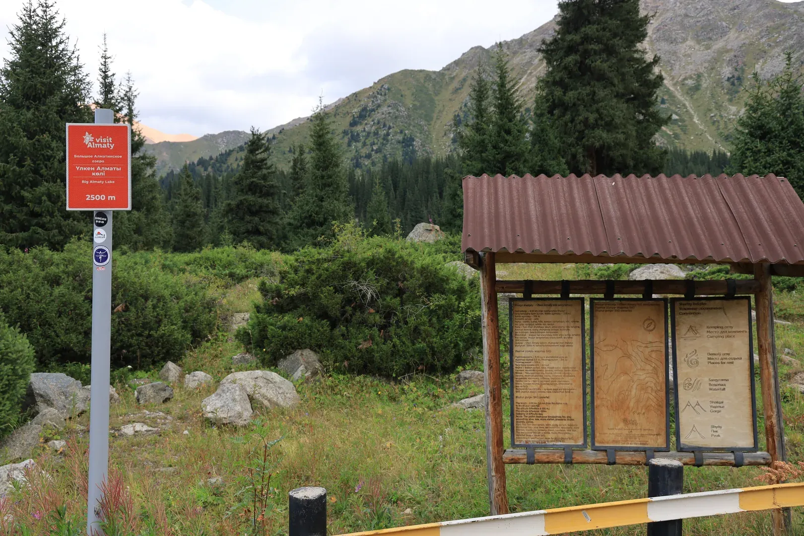
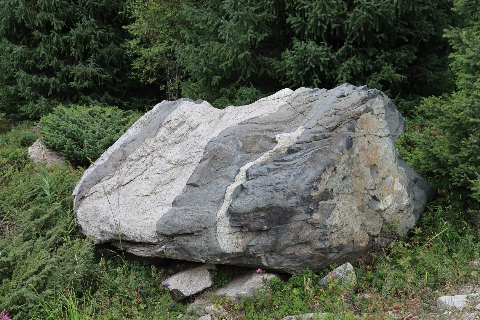
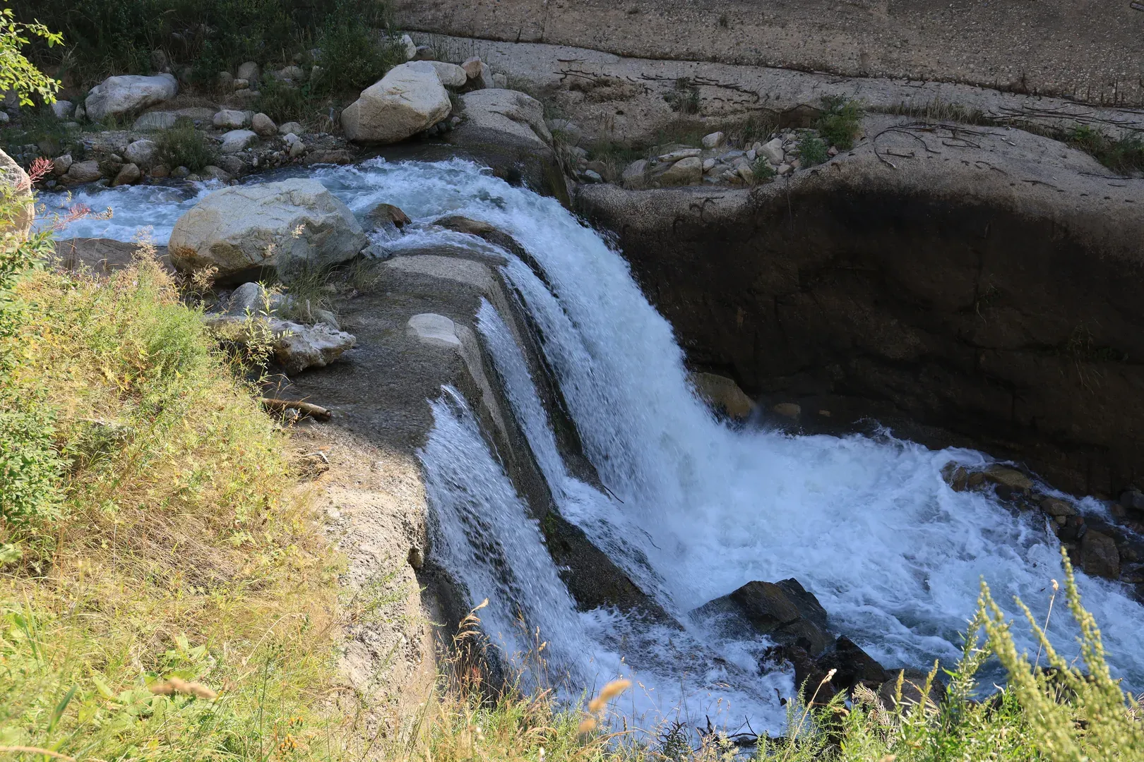
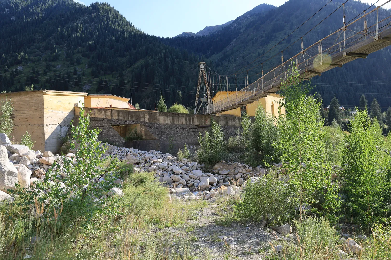
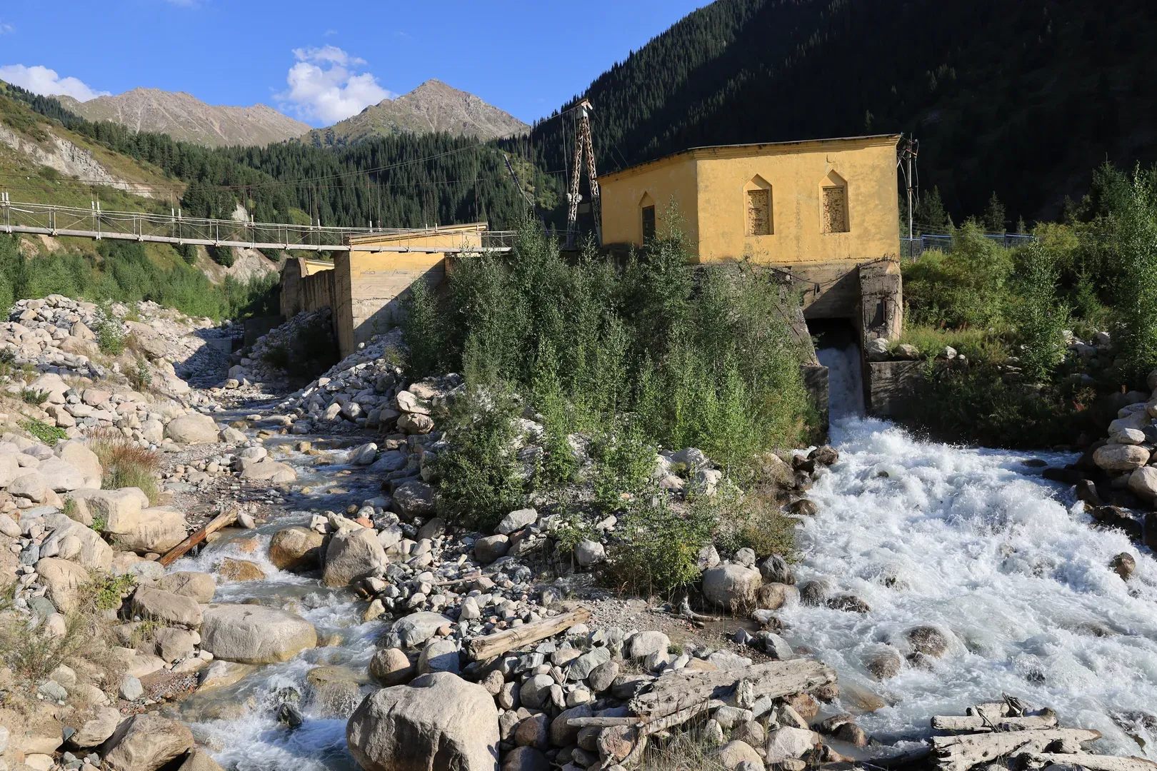
Horses near the settlement on the lake.A sign stating the elevation of the route and other general information.Some rocks look like the work of an artist. We joked that you can almost see the artist's intentions in those colours.The Shukyr river flowing down from Skalisty peak.The Kumbel river. All of these rivers later merge with the Big Almaty river downstream, near the hydroelectric station.Another view of the Kumbel river. You can see how quickly it descends, showing epochs of erosion at work.Skalisty peak, with glaciers visible beyond it.Our starting point as seen from the road, along with the structures belonging to the hydroelectric station.Here the Kumbel riverbed is formed from concrete. I am not sure how the station was built here, or why the engineers decided this was necessary, but the views are phenomenal.The hydroelectric station, with a pedestrian suspension bridge crossing the Kumbel river.The same structures seen from a road bridge crossing the merged rivers.
After that we kept descending until we reached the Old Japanese Road, where we rested near the Big Almaty river.
We continued to the Ayusai visitor centre and beyond, down to the bus station, where we finally caught a taxi willing to take us home.
If you plan to visit Big Almaty Lake, I suggest the same route we chose: ascend near the water pipe, and descend by road.
That way you will experience different views, and see not only Big Almaty Lake but also the Kumbel river and the gorge from several angles.